Astrology & Hurricanes: Hurricane Maria in astrogeography – astrogeographcial data for the third consecutive strong Hurricane of the 2017 season
Compare: Hurricane Harvey in astrogeography, Hurricane Irma in astrogeography, Hurricane Katrina in astrogeography, When Neptune strikes back: A gold plated temple swallowed by floods, Astrogeographic data for Supertyphoon Yolanda, On the competion between Poseidon and Zeus, Neptune and Jupiter. Oroville Dam astrogeographic position: highest tension expected on 13 February,

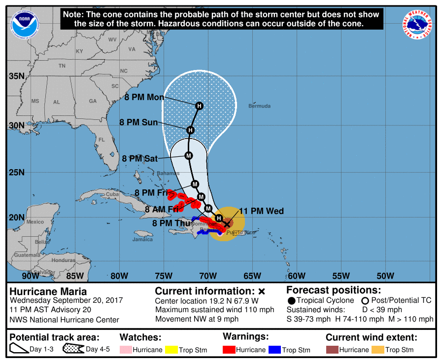
Hurricane Maria is an extremely powerful tropical cyclone which recently made landfall on Dominica as a Category 5 hurricane on the Saffir–Simpson scale, Maria formed on September 16 out of a tropical wave that was monitored by the National Hurricane Center since September 13. Maria was upgraded to a moderate-range tropical storm and given the name Maria on 21 September at 21:00 UTC when located at 12.3N 52.6W.
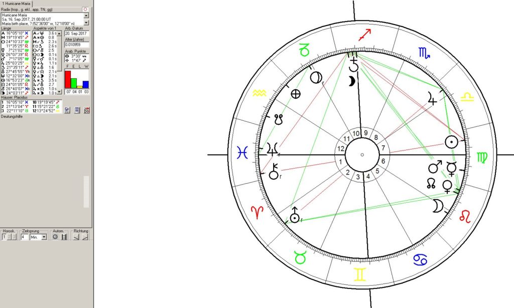
So here is Maria`s “birth chart” calculated for the moment it was upgraded and given its name.

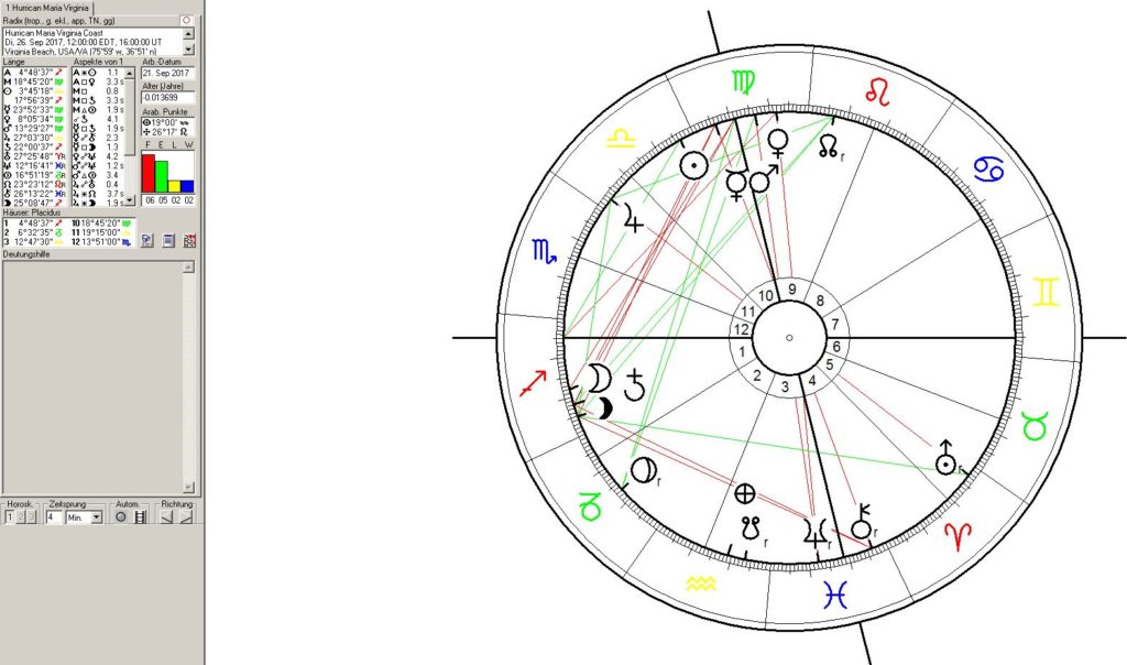
The conjunction of Venus and North Node near the astrogeographical position of Washington and near the degree of the “Great American Solar Eclipse” in the namegiving chart is a
Places along the possible path of Hurricane Maria
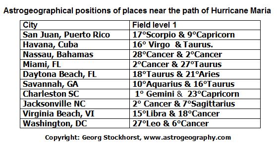
After the Sun changes signs from Virgo to Libra on September 23 places with astrogeoghraphical coordinates in Libra or in the other three cardinal signs Aries, Cancer and Capricorn should be considered as potential sites more affected by Hurricane Maria than others.

The following list of astrogeographical coordinates of important places near the path of Hurricane Maria. This applies to Charleston, Jacksonville (NC) and the Virgina Beach region.
