Astrology and Places: Astrogeographic data for Supertyphoon Yolanda/Haiyan – video
The precision of the astrogeographical data delivered by my astrological world map is absolutely awsome.
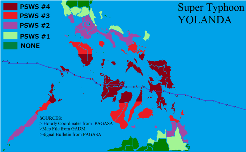
Typhoon Haiyan or Yolanda attained its peak intensity on November 7 2013 at around 12:00 UTC. It made its initial landfall at 4:45 on 8 November with a wind speed of 315 km/h at the town of Guiuan on Eastern Samar, Philippines.

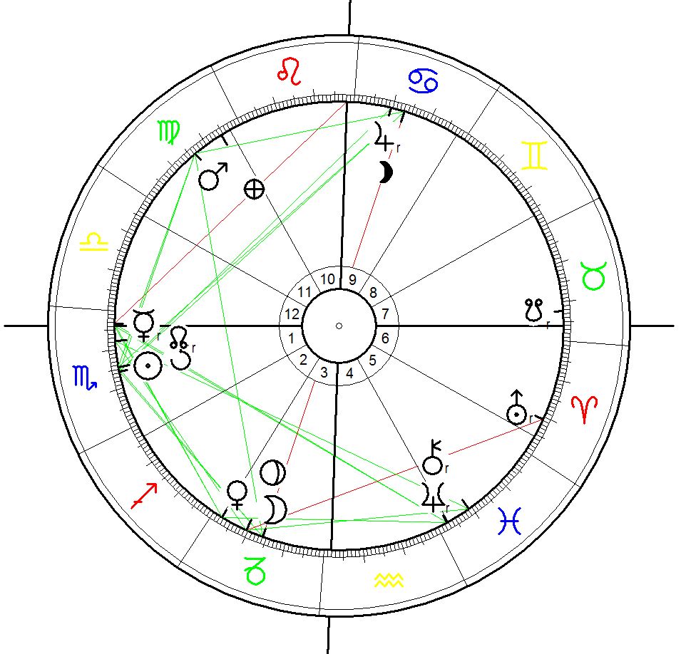
Astrogeographic position: The eastern coastliline of the island of Samar is located a 9° of the fire Sign Aries and 5° of the water sign Cancer for astrogeographic field level 1 which describes how the region is embedded in Eastern Asia. The exact Uranus transit over 9° in Aries and Pluto`s square to that position from 9° Capricorn had been activated about 10 hours before the landfall of the typhoon when the Moon the astrological factor with the strongest physical gravitation passed Pluto`s position on November 7.
One day later November 9 2013 a tropical Cyclone hit the coast of Somalia causing destruction and a high numer of victims near Alula right on the Horn of Africa. Read official Govt. press release.
Astrogeographical position of the area for field level 1: one coordinate for Alula is at 9° Libra which is exactly opposite the position of the site of the landfall of typhoon Yolanda/Haiyan at Guiuan, Philippines. This means that the extreme aspects of Uranus and Pluto have shown effects at both places at the same time. The second coordinate is at about 13° Gemini.
More examples for the precision and global significance of astrogeographical field level 1:
The Eruption of Mount Pinatubo in 1991, The Haiti Earthquake on 12 January 2010, Libra and Libra – the Fukushima earthquak
